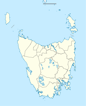
Whitemark is a small town on Flinders Island , an island that belongs to the Australian state of Tasmania . The port city is located on the southwest coast of the island on Parrys Bay and is the administrative center of the Local Government Area Flinders Municipality .
With 301 inhabitants according to the 2016 census, Whitemark is the largest settlement on the island. It is on Flinders Road (B85), which connects Lady Barron on the southern tip with Palana on the northern tip.
climate
Average monthly temperatures and rainfall for Whitemark
Jan
Feb
Mar
Apr
May
Jun
Jul
Aug
Sep
Oct
Nov
Dec
Max. Temperature ( ° C )
22.2
22.6
21.3
18.7
16.3
14.2
13.5
13.9
15.2
16.7
18.8
20.3
O
17.8
Min. Temperature (° C)
13.6
13.8
12.4
10.8
9.1
7.1
6.3
6.8
7.7
8.7
10.5
12.0
O
9.9
Precipitation ( mm )
53.1
26.1
47.6
57.7
64.9
68.8
78.9
74.6
64.3
50.9
51.3
60.2
Σ
698.4
Rainy days ( d )
8.9
7.1
8.4
11.7
14.5
16.4
17.2
16.9
15.2
13.3
9.9
10.9
Σ
150.4
T
Jan
Feb
Mar
Apr
May
Jun
Jul
Aug
Sep
Oct
Nov
Dec
N
53.1
26.1
47.6
57.7
64.9
68.8
78.9
74.6
64.3
50.9
51.3
60.2
Jan
Feb
Mar
Apr
May
Jun
Jul
Aug
Sep
Oct
Nov
Dec
Individual evidence
↑ a b Australian Bureau of Statistics : Whitemark English ) In: 2016 Census QuickStats . June 27, 2017. Retrieved April 3, 2020.
^ A b Steve Parish: Australian Touring Atlas . Steve Parish Publishing, Archerfield QLD 2007. ISBN 978-1-74193-232-4 . P. 61
<img src="https://de.wikipedia.org//de.wikipedia.org/wiki/Special:CentralAutoLogin/start?type=1x1" alt="" title="" width="1" height="1" style="border: none; position: absolute;">
