Woodbridge (Virginia)
| Woodbridge | ||
|---|---|---|
 |
||
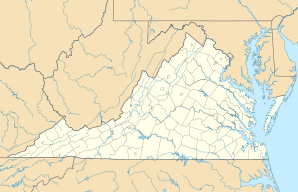
| Location in Virginia | ||
|
|
||
| Basic data | ||
| State : | United States | |
| State : | Virginia | |
| County : | Prince William County | |
| Coordinates : | 38 ° 39 ′ N , 77 ° 16 ′ W | |
| Time zone : | Eastern ( UTC − 5 / −4 ) | |
| Residents : | 31,941 (as of: 2000) | |
| Population density : | 1,178.6 inhabitants per km 2 | |
| Area : | 28.0 km 2 (approx. 11 mi 2 ) of which 27.1 km 2 (approx. 10 mi 2 ) are land |
|
| Height : | 23 m | |
| Postcodes : | 22191-22195 | |
| Area code : | +1 703 | |
| FIPS : | 51-87312 | |
| GNIS ID : | 1497222 | |
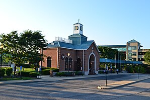
Woodbridge is a community ( Census Designated Place ) in the north of the US state Virginia . Woodbridge is located in Prince William County about 20 miles (32 km) from Washington DC.
According to the US Census Bureau, it extends over an area of 10.08 q miles (26.1 km²).
The city is located on Belmont Bay. The Potomac Mills Mall , the largest mall in the area with more than 200 stores, is accessible from High Way 95.
Well-known sons and daughters of the city
- Dexter McDougle (born 1991), American football player
