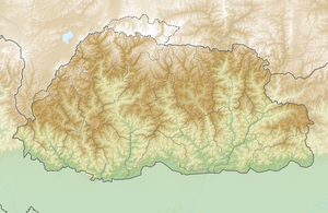
Zongophu Kang
| Zongophu Kang | ||
|---|---|---|
| height | 7047 m | |
| location |
Bhutan , county Nagarze in the administrative district of Shannan in Tibet ( China ) |
|
| Mountains | Lunana Group ( Himalayas ) | |
| Dominance | 10.81 km → Kangphu Kang | |
| Notch height | 1383 m ↓ ( 5664 m ) | |
| Coordinates | 28 ° 9 '58 " N , 90 ° 10' 57" E | |
|
|
||
| First ascent | unclimbed | |
The Zongophu Kang (also Table Mountain ) is a mountain in the Himalayas on the border between Bhutan and Tibet in China .
The Zongophu Kang has a height of 7047 m (according to other sources 7085 m ). It is located in the eastern main Himalayan ridge in northern Bhutan. The glaciated mountain is 10.81 km east of Kangphu Kang ( 7204 m ). The Tsonghu Glacier flows south on its western flank . The glaciers on the northern slopes of Zongophu Kang feed Lake Puma Yumco , while the southern slopes are drained by Puna Tsang Chhu .
The Zongophu Kang has not yet been climbed.
Web links
- Zongophu Kang, Bhutan on Peakbagger.com (English)
