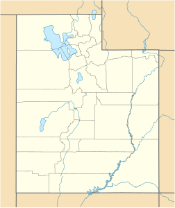
Abajo Peak
| Abajo Peak | ||
|---|---|---|
|
Abajo Peak (right of center) from the east |
||
| height | 3465 m | |
| location | Utah ( United States ) | |
| Mountains | Abajo Mountains | |
| Dominance | 68.9 km | |
| Notch height | 1387 m | |
| Coordinates | 37 ° 50 '22 " N , 109 ° 27' 54" W | |
|
|
||
At 3465 m, Abajo Peak is the highest mountain in the Abajo Mountains in southeastern Utah . The mountain is in the Manti La Sal National Forest . The summit is 11 km southwest of Monticello and 30 km west of the Colorado border . From the summit, you can see the four-state point where Utah, Arizona , New Mexico, and Colorado meet. There are several communication towers on the summit.
Individual evidence
- ↑ Abajo Peak on Peakbagger.com (English)
- ↑ Abajo Peak ; summitpost.org

