Absaroka Range
| Absaroka Range | ||
|---|---|---|
|
View of Pilot and Index Peak of the Absaroka Range |
||
| Highest peak | Francs Peak ( 4008 m ) | |
| location | Wyoming , Montana ; United States | |
| part of | Rocky mountains | |
|
|
||
| Coordinates | 44 ° 15 ′ N , 109 ° 53 ′ W | |
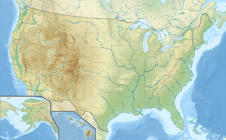
The Absaroka Range is a 240 km long and 80 km wide mountain range in the Rocky Mountains . It is located in the US states of Wyoming and Montana and forms the eastern border of Yellowstone National Park . The highest point is the 4008 m high Francs Peak . Much of the mountain range is located in nature reserves, in addition to the Yellowstone National Park also includes the Absaroka-Beartooth Wilderness , the North Absaroka Wilderness , the Teton Wilderness and the Washakie Wilderness .
The mountains are named after the tribe of the Absarokee Indians.
During the Ice Ages the glaciers started from the Absaroka Range , which formed an ice cap over almost the entire area of today's Yellowstone National Park. They had a significant impact on the surface design of the Yellowstone Plateau and the south adjoining Jackson Hole valley .
swell
- Alf Alderson, Christian Williams, Cameron Wilson: The Rocky Mountains. Rough Guides, London 2002, ISBN 1-85828-854-1 .
- Absaroka Range in Meyers Lexikon Online ( Memento from January 26, 2008 in the Internet Archive )
- Entry to the Absaroka Range on summitpost.org
Web links
Individual evidence
- ^ Robert B. Smith, Lee J. Siegel: Windows into the Earth. The Geologic Story of Yellowstone and Grand Teton National Parks. Oxford University Press, Oxford et al. 2000, ISBN 0-19-510596-6 , pages 111-131.

