ad-dair
| ad-dair | ||
|---|---|---|
|
Satellite image of the ad-Dair |
||
| height | 1451 m | |
| location | Central Sudan | |
| Mountains | Nuba mountains | |
| Coordinates | 12 ° 26 '24 " N , 30 ° 39' 0" E | |
|
|
||
| First ascent | unknown | |
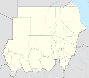
Ad-Dair , Arabic جبل الدائر, DMG Jabal ad-Dā'ir , alternative spellings : Jebel Dair, Dschebel Dair, Gebel Dair, Ed-Dair; is a table mountain on the northern edge of the Nuba Mountains in the Sudanese state of South Kordofan .
On the satellite photo, its plateau can be seen as a dark structure in the center of the image.
Ad-Dair is about 90 kilometers as the crow flies southeast of El Obeid and 20 kilometers south of the Kosti - Nyala railway line . The mountain, which consists mainly of igneous rock , rises about 1,000 meters above the surrounding landscape and 1,451 meters above sea level .
The plateau is partly covered by relatively fertile, deep soils with natural vegetation islands of the bamboo species Oxythenanthera and some eucalyptus trees introduced in the 20th century . Several types of deciduous trees thrive in the water-rich valleys of the plateau.
There is practically no vegetation on the sandy mountain slopes . The region around the ad-Dair is dry and only suitable for subsistence farming in shifting cultivation. The commercial cultivation of peanuts or sesame seeds is concentrated on the fertile soils in the wadis . In the area north and northwest of the ad-Dair some larger wadis converge. These arid valleys only occasionally carry water during the summer rainy season (May to October). The main use of the Jebel ad-Da'ir is to provide water to the surrounding areas during the dry season.
See also
Web links
- WL Marjoribanks: Jebel Dair and Jebel Auda. Sudan Wild Life and Sport Vol. III, Part 1, June 1953, p. 7 (sudanarchive.net)

