Aeródromo Castellón
| Aeródromo Castellón Aeródromo del Pinar |
||
|---|---|---|
|
|
||
| Characteristics | ||
| ICAO code | LECN | |
| IATA code | CDT | |
| Coordinates | ||
| Height above MSL | 5 m (16 ft ) | |
| Transport links | ||
| Distance from the city center | 6 km east of Castellón de la Plana | |
| Street | CV-1501 | |
| Basic data | ||
| operator | Aero Club Castellón | |
| Flight movements |
27,000 (2010) | |
| Runways | ||
| 18/36 | 790 m of asphalt | |
| 03/21 | 760 m unpaved | |
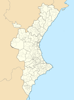
The Aeródromo Castellón (also known as Aeródromo del Pinar ) is an airfield in the municipality of the city of Castellón de la Plana in the Valencian Community in Spain . It is not to be confused with the larger Castellón -Costa Azahar airport (IATA code: CDT) nearby .
The Aeródromo is located about 60 kilometers north of Valencia and 160 kilometers south of Tarragona directly on the Mediterranean coast. The airfield, which was laid out in the 1920s, was used as a military airfield since 1935 and was taken over by the Aero Club Castellón as operator in 1959. The owner is the Ayuntamiento de Castellón. The heliport is used by the coast guard for the use of rescue helicopters . There is a restaurant at the airfield next to the hangars, tower and gas station .
On the total area of the airfield of around 454,000 m² there is also a clay target shooting range and the facilities of a parachutist school. At the northern end of the airfield is a base for the fire fighting aircraft squadron with Air Tractor AT-802 machines , which are equipped with floats or a conventional landing gear.
Individual evidence
- ^ Informacion-Aeronautica ( Memento from August 19, 2014 in the Internet Archive )
- ↑ Skytime Info
