Afabet
| Afabet | ||
|---|---|---|
|
|
||
| Coordinates | 16 ° 11 ′ N , 38 ° 41 ′ E | |
| Basic data | ||
| Country | Eritrea | |
| Semienawi Kayih Bahri | ||
| ISO 3166-2 | ER-SK | |
| height | 960 m | |
| Residents | 35,673 (1997) | |
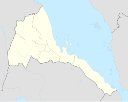
Afabet is a city in the Eritrean region of Northern Red Sea Region . It is the capital of the Afabet district and is located on the S1 highway from Keren to Nakfa on a dry plateau. An estimate from 1997 assumes a population of 35,673, but this number is uncertain and may have changed considerably in recent decades.
history
In Afabet, the Eritrean People's Liberation Front won a major victory against the Ethiopian troops in the Eritrean War of Independence in 1988 . Afabet was completely destroyed in this battle, but then rebuilt.
Individual evidence
- ↑ Population figures for the largest cities and towns in Eritrea.
- ↑ Eritrea: A Look Back at the Battle of Afabet
- ^ Edward Denison, Edward Paice: Eritrea - the Bradt Travel Guide . Bradt Travel Guides Ltd, 2002, ISBN 1 84162 057 2
