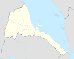
Agordat
| Agordat | ||
|---|---|---|
|
|
||
| Coordinates | 15 ° 33 ' N , 37 ° 53' E | |
| Basic data | ||
| Country | Eritrea | |
| Gash-Barka | ||
| ISO 3166-2 | ER-GB | |
| height | 615 m | |
| Residents | 30,000 (2005) | |
|
Mosque in Agordat (1982)
|
||
Agordat (also Ākʿordat, Akurdet, Adirdat, Akwirdet, Akirdat or Figordat , Arabic أغوردات) is a city in the Gash-Barka region in the western lowlands of Eritrea and with around 30,000 inhabitants, the third largest in the country (as of 2005). It was the capital of the province until 1995 before it was moved to Barentu . The city is located at 615 m above sea level and on the Barka River , but its sandy bed regularly dries up in the dry season. Agordat is on the eastern edge of the Sahara . The climate in the city is characterized by high to very high temperatures (average daily maximum temperatures between 33 and 40 ° C depending on the month) with frequent sandstorms, the haboob .
Agordat is known for its banana plantations and Eritrea's second largest mosque from 1963. The cityscape is still shaped from the Ottoman / Egyptian times.
Agordat had belonged to the Sudanese Mahdi Empire until 1893 before it was incorporated into the Italian colony of Eritrea . The city is the western terminus of the railway line to Massaua on the Red Sea , which was an important supply line in both the Italo-Ethiopian War and World War II . Since the last war between Ethiopia and Eritrea in 2000, when Agordat was occupied by Ethiopian troops, it has only been partially operational.
Web links
- Agordat on Eritrea.be (last accessed: September 17, 2008)

