Apache Lake
| Apache Lake | |||||||
|---|---|---|---|---|---|---|---|
|
|||||||
|
|
|||||||
| Coordinates | 33 ° 34 '43 " N , 111 ° 15' 48" W | ||||||
| Data on the structure | |||||||
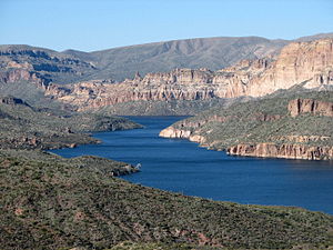
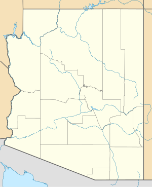
The Apache Lake is a reservoir 50 kilometers east of Phoenix on the border of Maricopa County and Gila County in the US state of Arizona . It belongs to a system of reservoirs on the Salt River and is about 5 km below Theodore Roosevelt Lake and 8 km above Canyon Lake . The reservoirs are used to supply Phoenix with water and as a recreational area. It can be easily reached via the AZ-88 .
Dam wall
The reservoir is dammed by the Horse Mesa dam.
Web links
Commons : Apache Lake - Collection of Images

