On the winches
| On the winches | |||
|---|---|---|---|
| Compass direction | North | south | |
| Pass height | 840 m above sea level NHN | ||
| state | Baden-Württemberg | ||
| Valley locations | Aitern | Koenigshütte | |
| Mountains | Black Forest | ||
| profile | |||
| Max. Incline | 16% | 14% | |
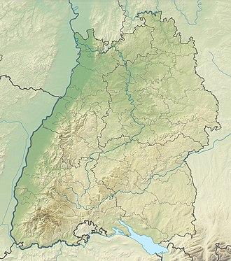
| Map (Baden-Württemberg) | |||
|
|
|||
| Coordinates | 47 ° 49 '3 " N , 7 ° 53' 25" E | ||
On the winds is a 840 m above sea level. NHN high pass crossing in the Black Forest between Aitern and Königshütte, a residential area and a mining settlement that belongs to Utzenfeld .
profile
The southern driveway from Aitern overcomes a height difference of 208 meters over 2.2 kilometers, which corresponds to an average gradient of 9.5%. The maximum gradient is 14%. On the upper section of the southern ramp, the average gradient is even well over 10%, which makes it one of the steepest road sections in the Black Forest.
The top of the pass is reached in a forest around 150 meters south of Unterrollsbach. The pass road connects the Rollsbach residential area belonging to Aitern, which consists of the two parts of Ober- and Unterrollsbach, with the two Black Forest valleys.
The northeast ramp overcomes 2.1 kilometers at a height of 161 meters, which corresponds to an average gradient of 7.6%. The maximum gradient in the lower third is 16%.
Web links
- On the winds (840 m) - pass description
Individual evidence
- ^ Regional information system for Baden-Württemberg (LeoBW): Unterrollsbach - living space - archive material
