
Bebar Timur

| Bebar Timur | |||
|---|---|---|---|
|
|||
| Coordinates | 7 ° 6 ′ S , 128 ° 39 ′ E | ||
| Basic data | |||
| Country | Indonesia | ||
|
Geographical unit |
Maluku | ||
| province | Maluku | ||
| ISO 3166-2 | ID-MA | ||
| Kabupaten | Southwest Moluccas | ||
| Residents | 961 (2010) | ||

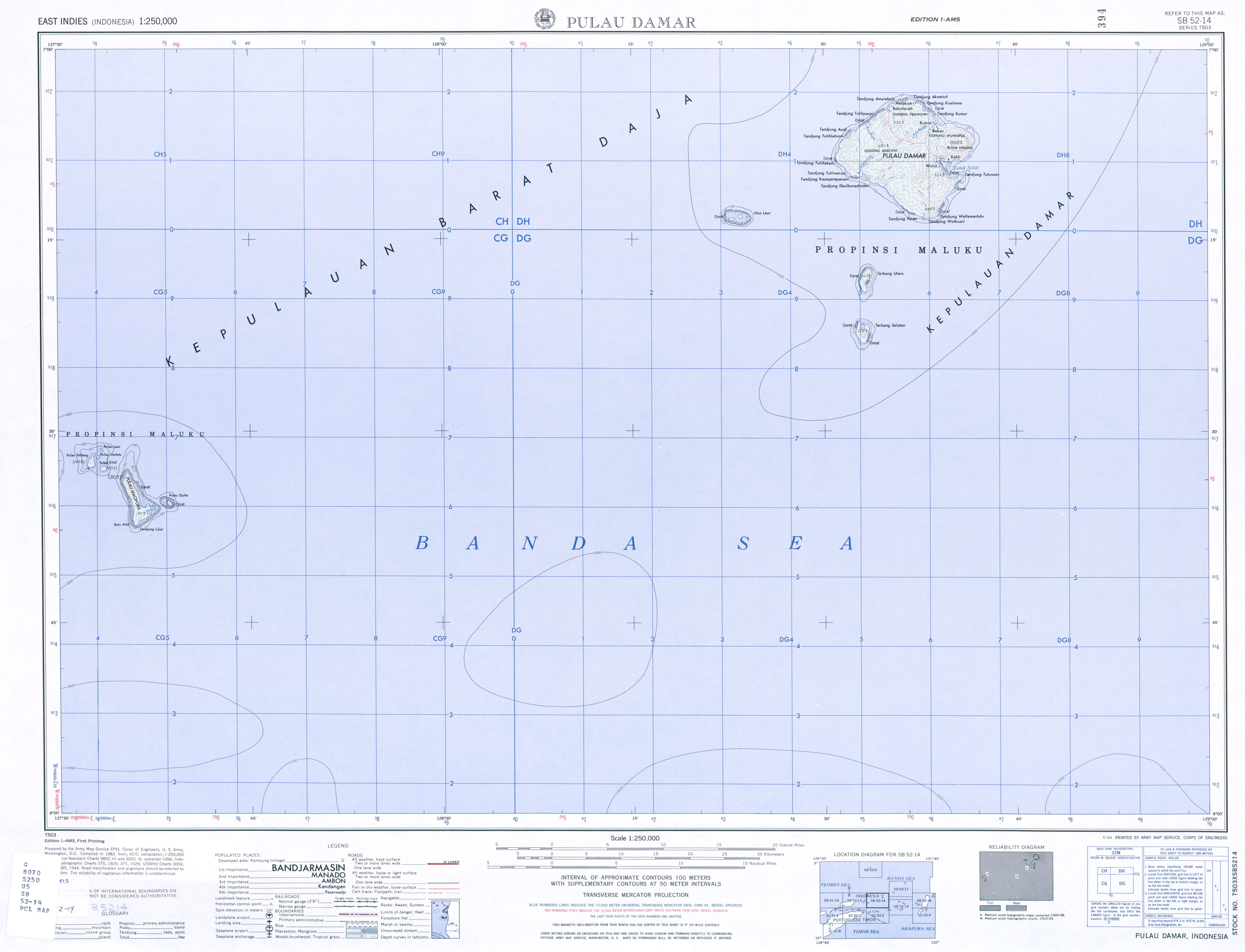
Bebar Timur is a Desa on the Indonesian island of Damar . Bebar Timur is located on the northeast coast of the island. To the north, across the Ajerkotta River, lies the neighboring village of Kumur . To the southeast is the active Wurlali volcano ( 868 m ).
The Desa has 961 inhabitants (2010). The people speak the Austronesian language East Damar ( Damar-Wulur ) as their mother tongue . Like the entire island, Bebar Timur belongs to the Kecamatan (sub-district) Damar, Kabupaten (administrative district), southwestern Moluccas ( Maluku Barat Daya ), Maluku Province .
The Englishman Francis Drake anchored during his circumnavigation in February / March 1580 for a long time in Bebar, where he was warmly received.
Individual evidence
- ↑ Map of the Damar Islands
- ↑ a b Penduduk Indonesia menurut desa 2010 ( Memento from March 27, 2014 in the Internet Archive ) (Indonesian; PDF; 6.0 MB), accessed on January 26, 2013
- ↑ Svetlana F.Chlenova and Mikhail A.Chlenov: West Damar Language or Damar-Batumerah, an Isolate in South-Eastern Indonesia ( Memento of the original from May 12, 2015 in the Internet Archive ) Info: The archive link has been inserted automatically and has not yet been checked . Please check the original and archive link according to the instructions and then remove this notice. (PDF; 94 kB)
- ↑ Joshua Eliot, Jane Bickersteth, Sebastian Ballard: Indonesia, Malaysia & Singapore Handbook , 1996, p. 597