
Bennighausen
Coordinates: 51 ° 3 ′ 31 ″ N , 8 ° 40 ′ 36 ″ E

Bennighausen is a desert area in what is now the municipality of Allendorf (Eder) in the Waldeck-Frankenberg district , Hesse .
location
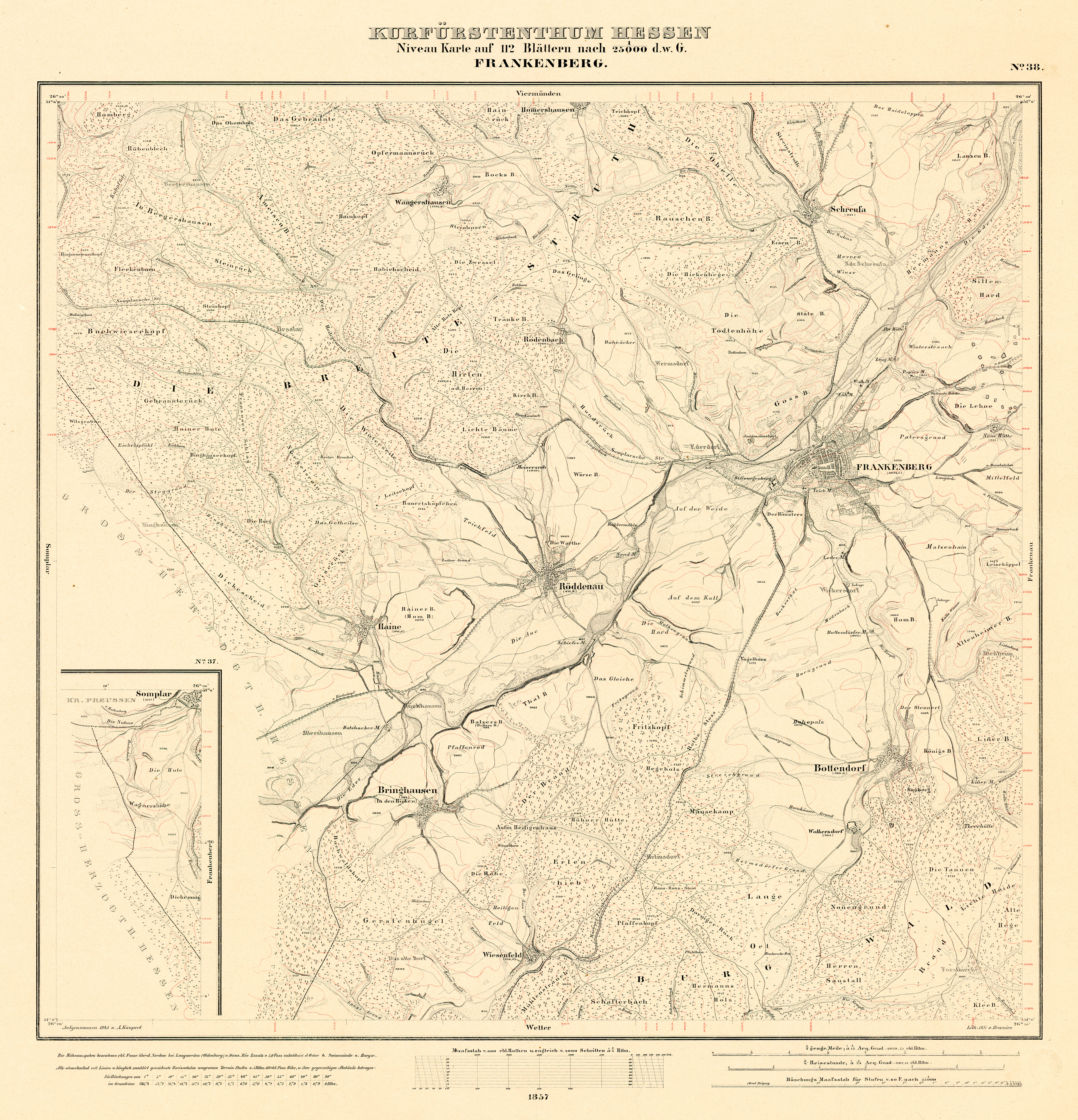
The settlement was located east of Osterfeld and north of Allendorf (Eder) and is probably to be equated with Binghausen im Binghäuser Grund.


History
The place is first mentioned in 1313 as Benichehusen . In later documents he is mentioned as Bennykhusen (1357), Bennekußen (1359), Bennekusen (1430), Bonighausen (1708/10) and Binghausen (1840–1861).
In 1359 the master saints in Bromskirchen sold their farm in Bennekußen to Werner von Allendorf. In 1430 Count Johann II. Von Nassau-Dillenburg enfeoffed the Council Widekind von Hohenfels with tithes and goods a. a. to Bennekusen. The place was abandoned in the period between 1485 and 1502 due to "feud and fire".
After the division of the Landgraviate of Hesse and the Hessian War (1645–1648), the border between Hesse-Kassel and Hesse-Darmstadt ran over the stump of the former church of Bennighausen since 1650.
Web links
- Bennighausen, Waldeck-Frankenberg district. Historical local dictionary for Hessen. In: Landesgeschichtliches Informationssystem Hessen (LAGIS). Hessian State Office for Historical Cultural Studies (HLGL), accessed on January 6, 2017 .
- Declaration on tree stumps of the Evangelical Lutheran parish Allendorf (Eder) accessed on January 6, 2017.