Biersiedersee
| Biersiedersee | ||
|---|---|---|

|
||
| Biersiedersee from the south bank with a view to the east | ||
| Geographical location | Binsfeld , Speyer , Rhineland-Palatinate , Germany | |
| Tributaries | Groundwater | |
| Drain | none | |
| Data | ||
| Coordinates | 49 ° 21 '43 " N , 8 ° 27' 15" E | |
|
|
||
| surface | 7 ha | |
| Maximum depth | 15 m | |
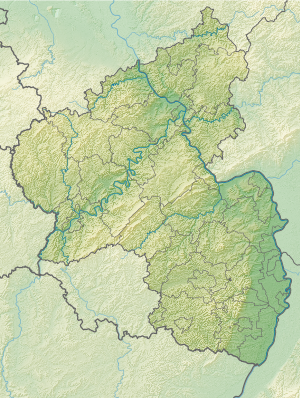
The Biersiedersee is one of the eight lakes in the Binsfeld that have been dredged for the purpose of gravel extraction . It is located in the northernmost part of the Rhine lowlands of Speyer and belongs to the Speyer-Nord district .
The quarry pond is 7 hectares and a maximum of 15 meters deep.
The Biersiedersee lies east of the Mondsee , north of the Binsfeld lake and west of the Silbersee .
The lake takes its name from a dredged parcel that once belonged to a beer maker . The built-up road that opens up the western north bank of the Biersiedersee is also called the Biersiedersee.
The built-up west bank is accessed from the street Am Mondsee , which runs in a north-south direction between Mondsee and Biersiedersee.
Bathing areas are leased on the south bank. The tenants have keys to open the gate that blocks the journey at the end of the wild duck path.
The non-native cranes from Karlsruhe are also frequently to be found.
Individual evidence
See also
Web links
- Bathing water quality Biersiedersee , website bathing water atlas Rhineland-Palatinate of the Rhineland-Palatinate water management authority
