Bláfjöll (Southwest Iceland)
| Bláfjöll | ||
|---|---|---|
|
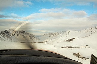
The Bláfjöll from the air |
||
| Highest peak | Bláfjallahorn ( 702 m ) | |
| location | Iceland | |
|
|
||
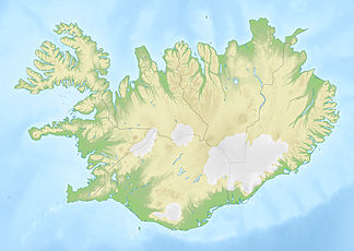
| Coordinates | 63 ° 58 ′ N , 21 ° 42 ′ W | |
| Type | Volcano , active | |
| particularities | Reykjavík's ski area | |
|
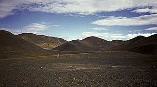
Bláfjöll 1984 |
||
|
Bláfjöll ski area 2011 |
||
The Bláfjöll ( Blue Mountains ) are a mountain range in the southwest of Iceland . It is located in the municipal areas of Ölfus , Kópavogur and Reykjavíkurborg .
location
The mountains are located about 20 km southeast of Reykjavík .
The highest point is the 702 m high Bláfjallahorn . From there they extend to the southwest until just before Krýsuvík .
geology
The mountains belong to the Brennisteinsfjöll volcanic system .
Eruptions about 4,200 years ago produced a lava field, the tongues of which extend into what is now Reykjavík's urban area and which flowed into the sea in the little book Elliðavógur . While they were crossing a wetland on what is now Lake Elliðavatn , they created the Rauðhólar pseudocrater group through hydromagmatic explosions .
Other well-known craters of the Bláfjöll are Stóra-Kóngsfell and Drottning .
Ski and hiking area
The area is relatively well developed for recreational sports. A side road leads from the ring road through the Bláfjöll to Hafnarfjörður .
Numerous hiking trails lead to the mountains.
In winter it is used as a ski area for cross-country skiing (groomed trails ) and downhill skiing (lifts).
Another ski area near the capital is located on the Skálafell .
See also
Individual evidence
- ↑ Íslandshandbókin. Náttúra, saga og sérkenni. 2. bindi. Edited by T. Einarsson, H. Magnússon. Örn og Örlygur, Reykjavík 1989, p. 780
- ↑ Thor Thordarson, Armann Hoskuldsson: Iceland. Classic Geology in Europe 3. Harpenden (Terra) 2002, p. 56
Web links
General
- Nat.is: Bláfjöll (English)
geology
Sports in the Bláfjöll: skiing and hiking
- Photo: Bláfjöll ski area in summer
- Current information about the Bláfjöll ski area (Icelandic)
- Hiking in the Bláfjöll (PDF, Icelandic; 11 kB)
- And even more hiking in the Bláfjöll, u. a. Stóra-Kóngsfell (PDF, Icelandic; 12 kB)
- Hiking to the Þríhnúkar (PDF, Icelandic; 12 kB)


