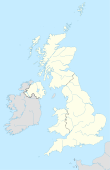
Blashenwell Farm Pit
Coordinates: 50 ° 37 '26.1 " N , 2 ° 4' 9.2" W.
The 11.4 hectare area Blashenwell Farm Pit is located north of the farmhouse Blashenwell farm in the county of Dorset in England . It was in 1985 at a Site of Special Scientific Interest declared ( Engl. Site of Special Scientific Interest ). Scientifically valuable is a tuff deposition, during the Flandriums was formed. It contains fossils of molluscs and archaeological remains and forms a long, uninterrupted outcrop .
Blashenwell Farm is south of Corfe Castle , between Kingston and Church Knowle . The western part of the site is currently used as a cultivation area for corn.
Web links
- English Nature website (SSSI information)
Individual evidence
- ↑ http://www.english-nature.org.uk/citation/citation_photo/1002484.pdf Notification Document SSSI (English)
