Boeri Lake
| Boeri Lake | ||
|---|---|---|

|
||
| Geographical location | Dominica | |
| Data | ||
| Coordinates | 15 ° 21 ′ 7 ″ N , 61 ° 19 ′ 14 ″ W | |
|
|
||
| surface | 1.82 hectares | |
| Maximum depth | 35 meters | |
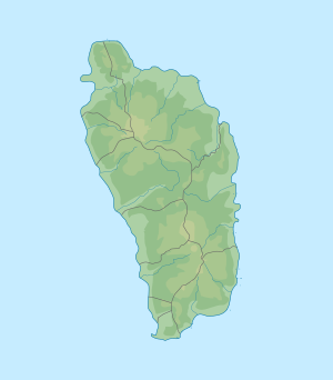
The Boeri Lake is a lake on the island nation of Dominica . The lake is at an altitude of 869 m above sea level. M. and is therefore the highest lake in Dominica. The lake is located in Morne Trois Pitons National Park, about 45 minutes' walk from Freshwater Lake . At 1.82 ha (4.5 ac. ) In size, it is the second largest lake in Dominica and up to 35 meters deep. The lake lies in the crater of an extinct volcano. It drains eastward over the Clarke's River , while the Providence River , which rises near its west end, drains westward to the Boeri River .
Individual evidence
- ↑ whc.unesco.org UNESCO description of the national park
- ↑ Michal Kasprowski: Commonwealth of Dominica Street Map. (1: 40,000, customized printing).
