Buel del Lovo
| Buel del Lovo | ||
|---|---|---|
| Waters | Venice lagoon | |
| Geographical location | 45 ° 29 '31.4 " N , 12 ° 22' 33.5" E | |
|
|
||
| surface | 0.645 2 ha | |
| Residents | uninhabited | |
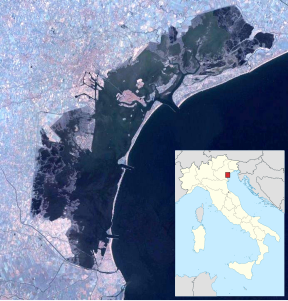
Buel del Lovo , formerly Batteria Buel del Lovo , is a small island in the Venice lagoon north of Murano . The island has an area of 5,226 m², according to the municipality of 5,257. There are three buildings on the island.
history
The island of Buel del Lovo, formerly Batteria, was one of the islands that were developed into a defensive belt around the city of Venice in the 18th century, still during the Republic of Venice . A letter from the nobleman Zuanne Wirko from 1796, who was responsible for the islands and peninsulas as Proveditore , shows that they were made of wood. The other forts were Fisolo , Campana , Ex Poveglia, and Trezze in the southern lagoon; Tessera , Carbonera and Campalto in the central and northern lagoon. They were mostly located at the intersection of the lagunar canals. Buel del Lovo had the task of covering the waters north of Murano and east of Mestre .
The batteries were abandoned in 1865, and in 1883 they were without a crew or ammunition depot.
In the 1960s the island received some structural changes, including a building for preserving fish, but the company only operated for a few years. In 1990 the island was privatized and given to Italgas.
Web links
- Former website of the Comune di Venezia ( Memento of July 4, 2011 in the Internet Archive )
Remarks
- ↑ Venice Islands ( memento of March 24, 2009 in the Internet Archive ), archive.org, March 24, 2009.
