Campalto
| Campalto | ||
|---|---|---|
| Aerial view | ||
| Waters | Venice lagoon | |
| Geographical location | 45 ° 27 ′ 41 ″ N , 12 ° 19 ′ 7 ″ E | |
|
|
||
| length | 300 m | |
| width | 170 m | |
| surface | 2.92 ha | |
| Highest elevation | 2 m | |
| Residents | uninhabited | |
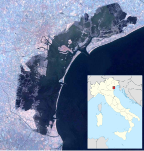
Campalto is an island of 2.92 hectares in the Venice lagoon . The island is 1.5 km northwest of the historic center of the city and 1.9 km west of Murano . The closest island is San Secondo 1.2 km southwest.
history
Towards the end of the Republic of Venice, Campalto was converted into one of the eight fortresses that were supposed to protect Venice from invaders. This emerges from a letter from nobleman Zuannezuto from 1796. They were expanded under the Austrians in 1858 and under the Italian government. There was an ammunition depot inside the fortress. The other forts were Fisolo , Campana , Ex Poveglia, and Trezze in the southern lagoon; Tessera , Carbonera , Buel del Lovo or Batteria San Marco in the central and northern lagoon.
During the Second World War , an anti-aircraft battery was used to repel attacks by aircraft. A bunker and two ammunition stores were built. From the 1960s onwards, the facilities were abandoned and the Murano glassmakers often used the island as a garbage dump; the island was artificially enlarged. The responsible Magistrato alle acque di Venezia also took care of cleaning measures. In 2005 local associations, together with the said administration, were able to establish a landing stage for the vaporetti ; in addition, small ships and boats can now moor there again.
Web links
- Batteria di Campalto , website of the Comune di Venezia ( Memento from September 19, 2009 in the Internet Archive )
Remarks
- ↑ Venice Islands ( Memento of March 24, 2009 in the Internet Archive )

