Campana (island)
| Campana | ||
|---|---|---|
| Waters | Venice lagoon | |
| Geographical location | 45 ° 23 '1 " N , 12 ° 17' 9" E | |
|
|
||
| surface | 0.585 8 ha | |
| Residents | uninhabited | |
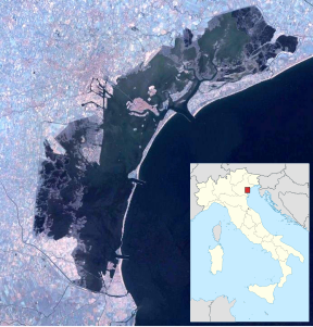
Campana , formerly (Batteria) Podo or Forte di Sopra , is a small island in the southern lagoon of Venice . The island has an area of 5,858 m², according to the municipality only 4,076. It is located south of the historic center and was one of eight fortress islands built to protect Venice in the 18th century.
history
Towards the end of the Republic of Venice, the Batteria Podo was converted into one of the eight fortresses that were supposed to protect Venice from attackers from the seaside. This emerges from a letter from nobleman Zuannezuto from 1796. The other fortresses besides Campana were: Fisolo , Ex Poveglia and Trezze in the southern lagoon, plus Tessera , Carbonera , Campalto , Buel del Lovo or Batteria San Marco in the central and northern lagoon. In 1883 all fortresses were equipped with bastions, casemates and ammunition stores. Fortification was abandoned after the Second World War .
Today, a considerable part of the Rempart in the north of the island has collapsed, the island has shrunk considerably due to the current of the adjacent Canale della Campana. The island is privately owned and is largely overgrown by vegetation. In 1996 the Canottieri Bucintoro initiated a sailing boat trip, with a capital with an image of the Madonna di Marina being built.
Web links
- Batteria Campana, website of the Comune di Venezia ( memento of September 19, 2009 in the Internet Archive ), archive.org, September 19, 2009
- Podo o Campana , Le fortificazioni militari della laguna di Venezia , website of the Associazione Italiana per lo Studio delle Fortificazioni (AISF)
Remarks
- ↑ Venice Islands ( memento of March 24, 2009 in the Internet Archive ), archive.org, March 24, 2009.
