Cannonvale
| Cannonvale | |||||||
|---|---|---|---|---|---|---|---|
 The beach at Cannonvale, 2012 |
|||||||
|
|||||||
|
|||||||
|
|||||||
|
|||||||
|
|
|||||||
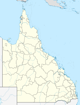
Cannonvale is a small town in Australia with 5,716 inhabitants (as of 2016). It is located on the east coast of Australia in the state of Queensland about 900 km north of Brisbane and 485 km south of Cairns . The Whitsunday Islands are in front of the piece of land on which Cannonvale lies . The place belongs to the Whitsunday Region ( local administrative area (LGA) ).
history
The first mention of the region comes from a reconnaissance voyage of the HMS Mermaid in June 1819. When the region of the Whitsunday Islands was mapped by Commander Nares in 1866, a valley was recorded on the coast near the island that extends inland in a south-west direction. It was named Cannon Valley after a crew member, assistant surgeon Richard Cannon .
At the end of the 19th century, farm settlements in the valley spread out from the administrative center Proserpine, located about 20 km inland, towards the coast. From 1904 onwards, land auctions took place in the coastal region and the settlement at the end of the valley became popularly known as Cannon Valley Beach or Cannonvale. The place was first officially mentioned in 1913. A small community emerged, which in 1930 was given a post office with the official name Deauville . In public, however, the original name remained in use and in order to end the confusion with the double name, the name was changed to Cannonvale Beach in 1947.
In the late 1930s, a dock for excursion boats to the Whitsunday Islands was built on site. Island tourism was operated with three ferries for two decades before a cyclone severely damaged the ships and put them out of service. A new dock was built in a sheltered harbor further west in Airlie Beach . Cannonvale lost its role as a starting point for island tours to the neighboring town, but tourism remained and has shaped the place ever since.
location
In the north, Cannonvale is on Pioneer Bay, in the northeast it borders on the village of Airlie Beach . Conway National Park extends over 246 km² to the east and south-east . In the valley south of the village lies Cannon Valley, a place with almost 1000 inhabitants. The Galbraith Creek forms the western border with the villages of Woodwark and Riordanvale.
The Shute Harbor Road (State Route 59) runs through Cannonvale and starts in Shute Harbor, 10 km east of the coast, and 20 km southwest of Cannonvale in Proserpine joins the Bruce Highway ( National Highway 1 ). South of Proserpine is the Whitsunday Coast Airport , a local airport with a bus connection to the coast.
population
Despite its tourist importance, Cannonvale remained a small town with 150 to 300 inhabitants from 1910 to 1970. The boom did not begin until the 1970s and by the end of the decade the population quadrupled to more than 1200 residents. With the increasing tourism, the number of inhabitants rose sharply and exceeded the 4000 mark in the mid-2000s. The trend continued in the following years.
Most of the residents born in Cannonvale have their roots in English-speaking countries, around 3.7%, the largest non-English group, give Germany as their country of origin. With around 4.6% each, New Zealand and England are the most important countries of origin of the immigrant residents.
economy
Cannonvale is of great importance as a place to stay and shop for tourists. Hotels, restaurants and retail are the largest employers. There are two motels, three campsites and a shopping center in the village. Centro Whitsunday , which opened in 2006, has a department store, a supermarket and over 30 other shops. The main post office for the region is also in Cannonvale. Own tourist activities are offered with a lido, a swimming pool and a golf course in the village. The main importance lies in the starting point for tours to the Whitsunday Islands and the upstream Great Barrier Reef (Hardy Reef).
Web links
- Cannonvale at Queensland Places
- Cannonvale at Tourism Whitsundays
Individual evidence
- ↑ a b c d Australian Bureau of Statistics : Cannonvale (SSC) ( English ) In: 2016 Census QuickStats . June 27, 2017. Accessed February 24, 2020.
- ↑ Cannonvale at the "Queensland place names search" (Queensland Government), accessed on March 2, 2020
- ^ Cannonvale Beach Post Office , The Proserpine Guardian, Dec. 5, 1947, p. 2
- ^ Cannonvale at Tourism and Events Queenland, accessed March 2, 2020
