Carson Range
| Carson Range | ||
|---|---|---|
|
View of the Carson Range |
||
| Highest peak | Freel Peak ( 3317 m ) | |
| location | Nevada (USA) | |
| part of | Sierra Nevada | |
|
|
||
| Coordinates | 39 ° 21 ′ N , 119 ° 55 ′ W | |
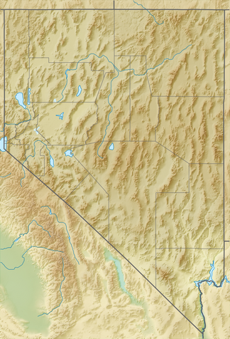
The Carson Range [ ˈkɑːɹsn̩ ɹeɪndʒ ] ( German "Carson chain" ) is a promontory of the Sierra Nevada and extends along the east bank of Lake Tahoe . The mountain range has a length of around 80 km and forms Nevada's only part of the Sierra Nevada.
Although the Carson Range is considered part of the Sierra Nevada, it is already entirely in the Great Basin . It begins in the south - around 20 km south of South Lake Tahoe - at Luther Pass , then runs along the eastern boundary of Lake Tahoe and finally ends at the Truckee River , not far from Reno . The highest peaks are Freel Peak (3,317 m) and Mount Rose (3,284 m).
Web links
Commons : Carson Range - collection of pictures, videos and audio files

