
Cerro Pariani
| Cerro Pariani | ||
|---|---|---|
 Cerro Pariani (bottom right in the picture) |
||
| height | 5077 m | |
| location | Western Bolivia | |
| Mountains | To the | |
| Coordinates | 19 ° 7 ′ 53 ″ S , 68 ° 25 ′ 30 ″ W | |
|
||
| Type | Stratovolcano | |

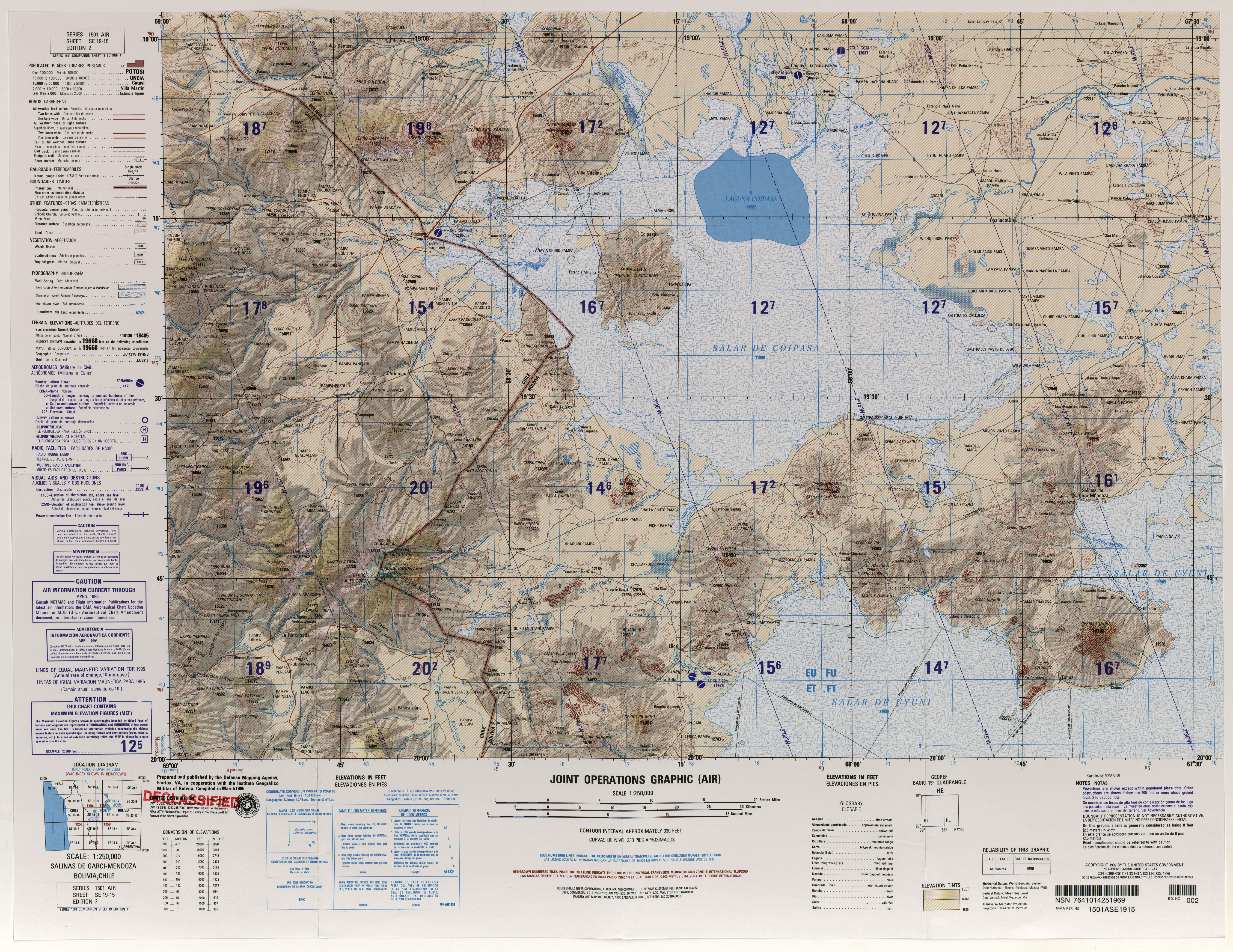
The Cerro Pariani (also: Sacasani or Saxani ) is a 5077 m high inactive stratovolcano in Oruro Department in western Bolivia . He is right on the edge of the salt lake Salar de Coipasa in the mountains Cordillera Occidental in the central Andes .
The Cerro Pariani is located between the adjacent volcano Tata Sabaya (5385 m) and the adjacent Cerro Pumari (4787 m) to the north in the municipality of Sabaya in the province of Sabaya , fifteen kilometers southwest of the village of Sabaya .
Individual evidence
- ↑ Relief map Salinas de Garci-Mendoza 1: 100,000 (JPEG; 8.7 MB)
Web links
- Global Volcanism Program ( English )
- Relief map of the Salinas de Garci-Mendoza region 1: 250,000 (PDF; 10.44 MB)