Cheadle and Gatley
Coordinates: 53 ° 23 ′ N , 2 ° 13 ′ W
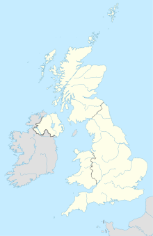
Cheadle and Gatsley was an urban district of England in the county of Cheshire , which existed from 1894 to 1974 . The area on the southern outskirts of Manchester not far from the city's airport has been part of the Metropolitan Borough of Stockport in Greater Manchester since 1974 . Today Cheadle and Gatley is an unparished area with around 58,000 inhabitants.
