Chiao Lan Lake
| Chieo Lan Lake, Chieo Lan Lake, Ratchaprabha Dam | |||||
|---|---|---|---|---|---|
|
|||||
|
|
|||||
| Coordinates | 9 ° 0 ′ 0 ″ N , 98 ° 46 ′ 0 ″ E | ||||
| Data on the structure | |||||
| Data on the reservoir | |||||
| Water surface | 165 km² | ||||
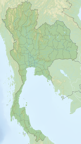
The Chieo Lan Lake (also Cheow Lan Lake, in Thai : อ่างเก็บน้ำ เชี่ยว หลาน ) is a reservoir in the Surat Thani province in southern Thailand , about 80 km (as the crow flies) north of Phuket . It is part of the Khao Sok National Park.
The reservoir was created in 1982 through the construction of the Rajjaprabha Dam (also "Rajjaphapa", in Thai: เขื่อน รัช ช ประภา , or Chieo-Lan Dam - เขื่อน เชี่ยว หลาน ), which dams the Khlong Saeng , a tributary of the Phum Duang . It is used to generate electricity from hydropower. At 165 km², it is around twice as large as the Chiemsee , but appears significantly larger due to its fingered shape. On average, it is 40 meters deep and at the dam it is 90 meters deep. Prior to the flooding, the areas that would be flooded were cleared for deforestation. However, only the worthwhile objects were felled and transported away, so that today dead trees protrude from the water in the less deep places. The shape of the terrain there - steep limestone mountains - formed over 100 islands.
The attempt to save the fauna from drowning had only moderate success. 13 villages that were previously not accessible by road had to be relocated and the residents were given new land, mainly along State Road 401 from Takua Pa to Surat Thani .
Floating rafthouse resorts
The lake is now also used for tourism. With the " Ruea Hang Yao " (literally long-tailed boat ), the typical Thai watercraft, tourists are chauffeured to "Raft Houses" - floating huts - which are used as a starting point for jungle and kayak tours or just to spend the night in nature. There are currently 14 floating resorts on the reservoir, 10 private and 4 ranger rafthouse facilities.
Nam Talu Cave
One of the sights is the Nam Talu Cave, which has hit the headlines several times in the past because tourists drowned in it due to the rapidly rising water level. The cave is located around 28 km from the pier, at the end of a southwest branch, not far from the Tone Teuy Rafthouse. From the boat dock, a small path leads to the entrance of the cave in 1 hour. The cave is funnel-like and carries water. The entrance area is up to 15 m high and just as wide. As the cave progresses, it becomes narrower and the water level is higher. In the last 200 m in the end area it is only 1–3 m wide and up to 10 m high, like a crevice that becomes wider towards the top. This fact also explains the danger that exists here when it rains. If the water level in the entrance area rises only a few centimeters, this means in the narrow end piece u. U. half a meter or more. Since the last calamities, warning signs have been put up and it is forbidden to enter the cave during monsoon rains.


