Colmar, Pennsylvania
| Colmar | ||
|---|---|---|
|
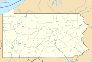
Location in Pennsylvania
|
||
| Basic data | ||
| State : | United States | |
| State : | Pennsylvania | |
| County : | Montgomery County | |
| Coordinates : | 40 ° 16 ′ N , 75 ° 15 ′ W | |
| Time zone : | Eastern ( UTC − 5 / −4 ) | |
| Height : | 96 m | |
| Postal code : | 18915 | |
| Area code : | +1 215, 267 | |
| GNIS ID : | 1172227 | |
Colmar is a suburban, unincorporated area in Montgomery County , Pennsylvania on State Route 309 northeast of Lansdale . The West Branch Neshaminy Creek forms its northern border and then flows eastward into Neshaminy Creek . Colmar is partly in Hatfield Township and partly in Montgomery Township . It belongs to the North Penn School District and is part of the North Penn Valley , the center of which is the parish of Lansdale. Due to its location on Route 309 and its train station on the Lansdale / Doylestown Line of the SEPTA Regional Rail , Colmar is an important part of the traffic in the region.
