Lansdale, Pennsylvania
| Lansdale | ||
|---|---|---|
 |
||
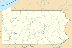
| Location in Pennsylvania | ||
|
|
||
| Basic data | ||
| Foundation : | 1872 | |
| State : | United States | |
| State : | Pennsylvania | |
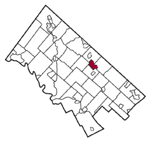
| County : | Montgomery County | |
| Coordinates : | 40 ° 15 ′ N , 75 ° 17 ′ W | |
| Time zone : | Eastern ( UTC − 5 / −4 ) | |
| Residents : | 16,269 (as of 2010) | |
| Population density : | 2,033.6 inhabitants per km 2 | |
| Area : | 8.0 km 2 (approx. 3 mi 2 ) of which 8.0 km 2 (approx. 3 mi 2 ) is land |
|
| Height : | 110 m | |
| Postal code : | 19446 | |
| Area code : | +1 215, 267, 610 | |
| Mayor : | Andrew Szekely | |
 |
||
Lansdale is a municipality ( borough ) in Montgomery County in the southeast of the US state Pennsylvania with just under 20,000 inhabitants.
The place a good 40 km northwest of Philadelphia was inhabited by the Jenkins family since about 1805, from about 1850 the city grew in the course of the railway construction. It was given its current name in 1872 in honor of Phillip Lansdale Fox of the North Pennsylvania Railroad .
Personalities
- Ralph Hirschmann (1922–2009), chemist
- Russell Hoban (1925-2011), writer
- Peggy March (born 1948), singer
