D'Urville Wall
| D'Urville Wall | ||
|---|---|---|
| location | Victoria Land , East Antarctica | |
| part of | Prince Albert Mountains in the Transantarctic Mountains | |
|
|
||
| Coordinates | 75 ° 16 ′ S , 162 ° 13 ′ E | |
|
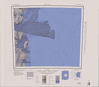
Map of the Drygalski ice tongue with the D'Urville Wall (left edge of the map, above the center) |
||
The D'Urville Wall is a steep rock wall made of granite with a height of up to 720 m in the Prince Albert Mountains , which flanks the David Glacier in the area of its confluence with the Ross Sea on the Scott coast of the East Antarctic Victoria Land to the north.
The cliff was discovered by participants in the Nimrod expedition (1907-1909) led by the British polar explorer Ernest Shackleton . It is named after the French navigator and polar explorer Jules Dumont d'Urville (1790–1842).
See also
Web links
- D'Urville Wall in the Geographic Names Information System of the United States Geological Survey (English)
- D'Urville Wall on geographic.org (English)
- D'Urville Wall. In: Kenneth J. Bertrand and Fred G. Alberts, Geographic names of Antarctica , US Govt. Print. Off., Washington 1956, p. 114. (English)

