Dowar Island
| Dowar Island (Dauar) |
||
|---|---|---|
|
Landsat image of the Murray Islands: Dowar Island center, bottom left. |
||
| Waters | Coral sea | |
| Archipelago | Murray Islands | |
| Geographical location | 9 ° 56 '59 " S , 144 ° 2' 14" E | |
|
|
||
| length | 1.53 km | |
| width | 630 m | |
| surface | 37 ha | |
| Highest elevation | Au Dauar 140 m |
|
| Residents | uninhabited | |
| main place | Giar (district, historic) | |
| Historical map of the islands of Dowar and Wyer | ||
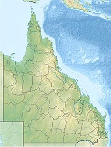
Dowar Island , called Dauar by the locals of the nearest inhabited islands , is an Australian island in the east of the Torres Strait Islands archipelago . It belongs to the group of Murray Islands and is located 2 kilometers southwest of their main island Murray Island ( Mer ).
The uninhabited Dowar Island is of volcanic origin and protrudes up to 140 meters from the approximately 2 km² large coral reef , which it shares with Wyer Island , 500 m to the southeast .
Administratively, the island is part of the Eastern Islands , the easternmost island region in the Torres Shire administrative district of Queensland .


