Murray Islands
| Murray Islands | ||
|---|---|---|
| Landsat image of the group | ||
| Waters | Pacific Ocean | |
| archipelago | Torres Strait Islands | |
| Geographical location | 9 ° 56 ′ S , 144 ° 3 ′ E | |
|
|
||
| Number of islands | 3 | |
| Main island | Murray Island | |
| Total land area | 4.88 km² | |
| Residents | 485 (2006) | |
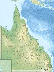
| Location of the Torres Strait Islands ; Murray Island (Mer) in the far east. | ||
The Murray Islands are a small group of islands belonging to Australia in the Torres Strait Islands archipelago . It is located in the very east of the Sea Passage ( Torres Strait ) between the northern tip of Australia and Papua New Guinea and borders the Great Barrier Reef to the southeast .
Table of the islands
The group consists of three islands of volcanic origin:
| island | Alias | location | Area km² |
Residents | Geographic coordinates |
|---|---|---|---|---|---|
| Murray Island | Mer | Northeast | 4.29 | 485 | 09 ° 55 ′ S , 144 ° 04 ′ E |
| Dowar Island | Dauar | southwest | 0.37 | uninhabited | 09 ° 57 ′ S , 144 ° 02 ′ E |
| Wyer Island | Waier | south | 0.22 | uninhabited | 09 ° 57 ′ S , 144 ° 03 ′ E |
Administratively, the archipelago is one of the Eastern Islands , the easternmost island region in the Torres Shire administrative district of Queensland . According to the 2006 census, the islands had 485 inhabitants.
See also
Individual evidence
- ↑ http://www.tsra.gov.au/the-torres-strait/community-profiles/httpwww.tsra.gov.authe-torres-straitcommunity-profilesmer.aspx


