Red Wallis Islands
| Red Wallis Islands | ||
|---|---|---|
| Landsat image of the group | ||
| Waters | Arafura lake | |
| archipelago | Torres Strait Islands | |
| Geographical location | 10 ° 51 ′ S , 142 ° 2 ′ E | |
|
|
||
| Number of islands | 3 | |
| Main island | Red Wallis Island | |
| Total land area | 0.054 km² | |
| Residents | uninhabited | |
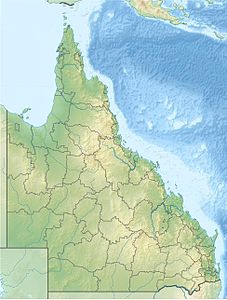
| Location of the Torres Strait Islands | ||
The Red Wallis Islands are an Australian archipelago in the extreme southwest of the Torres Strait Islands archipelago . They are 16 kilometers southwest of Prince-of-Wales Island and just under four kilometers north of Woody Wallis Island .
The group consists of three very small, flat rock islands, all of which are uninhabited. The northern island has an area of 1.4 hectares , the central 3.2 and the southern 0.8 hectares.
Administratively, the Red Wallis Islands belong to the Inner Islands , an island region in the Torres Shire administrative district of Queensland .


