Albany Island
| Albany Island | ||
|---|---|---|
|
Landsat image of the Manar Islands Albany Island in the center |
||
| Waters | Pacific Ocean | |
| Archipelago | Manar Islands | |
| Geographical location | 10 ° 43 '50 " S , 142 ° 36' 20" E | |
|
|
||
| length | 5.15 km | |
| width | 1.09 km | |
| surface | 6.07 km² | |
| Highest elevation | 28 m | |
| Residents | uninhabited | |
| Location of the Torres Strait Islands | ||
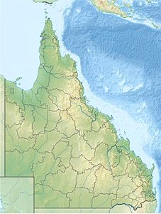
Albany Island , also called Pabaju , is an island in the southeast of the Torres Strait Islands archipelago . It is also the main island of the Manar Islands , which are immediately east of the northeastern tip of Australia ( Cape York ).
Albany is slightly hilly, around five kilometers long (northwest to southeast) and on average one kilometer wide. Administratively it belongs to the Inner Islands , the southernmost island region in the Torres Shire administrative district of the Australian state of Queensland .
The island is uninhabited.


