Crab Island (Torres Strait)
| Crab Island | ||
|---|---|---|
| Landsat image of Crab Island west of the Cape York Peninsula | ||
| Waters | Pacific Ocean | |
| Archipelago | Torres Strait Islands | |
| Geographical location | 10 ° 58 '40 " S , 142 ° 6' 20" O | |
|
|
||
| length | 3.5 km | |
| width | 1.5 km | |
| surface | 2.62 km² | |
| Highest elevation | 2 m | |
| Residents | uninhabited | |
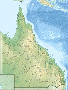
Crab Island , also called Moent Island , is an Australian island in the extreme southwest of the Torres Strait Islands . It is 1.4 km from Slade Point , a cape on the northwest coast of the Cape York Peninsula .
The island consists of two peninsulas of almost the same size, which are connected by a spit that is only 100 meters wide and 580 meters long . The shape of the double island is reminiscent of crab claws open to the coast .
The island is the most important breeding area for the barrier reef turtle . The hawksbill sea turtle and the olive hybrid turtle can also be found.
Administratively, the uninhabited island belongs to the Inner Islands , an island region in the Torres Shire administrative district of Queensland .

