Friday Island (Torres Strait)
| Friday Island | ||
|---|---|---|
| Landsat image from Friday Island | ||
| Waters | Pacific Ocean | |
| Archipelago | Thursday Islands | |
| Geographical location | 10 ° 35 '53 " S , 142 ° 9' 54" E | |
|
|
||
| length | 3.3 km | |
| width | 1.7 km | |
| surface | 4.8 km² | |
| Highest elevation | 40 m | |
| Residents | 20th 4.2 inhabitants / km² |
|
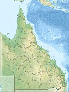
| Location of the Torres Strait Islands | ||
Friday Island , also called Gialug , is an island in the Torres Strait Archipelago . It is located in the west of the Thursday Islands , just off the north coast of Prince of Wales Island , three kilometers west of Thursday Island .
The island is about 3.3 kilometers long and on average 1.7 kilometers wide. Until about 1910 there was an Australian leprosy station on Friday Island . Today there are smaller settlements on the south and east coast of the hilly island. The residents in the south mostly operate smaller pearl farms .
From an administrative point of view, Friday Island is one of the Inner Islands , the southernmost island region in the Torres Shire administrative district of the Australian state of Queensland .
etymology
The western name of the island comes from Captain William Bligh , who drove the Torres Strait from June 2 (Tuesday) to June 5, 1789 (Friday) towards the west ( Kupang ). Some of the islands he passed, he named Tuesday Islands , Wednesday Island , Thursday Island and Friday Island after the days of the week of his four-day transit . Sunday Island , which he passed on the previous Sunday, May 31, 1789, is located around 200 kilometers southeast of the Torres Strait Islands near the east coast of the Cape York Peninsula .


