Turtle Island (Torres Strait)
| Turtle Island | ||
|---|---|---|
|
Landsat image with Turtle Island (top, right). Center: Turtle Head Island . |
||
| Waters | Pacific Ocean ( Coral Sea ) | |
| Geographical location | 10 ° 53 '20 " S , 142 ° 41' 42" O | |
|
|
||
| length | 270 m | |
| width | 130 m | |
| surface | 3.5 ha | |
| Highest elevation | 9 m | |
| Residents | uninhabited | |
| Map of the Torres Strait Islands | ||
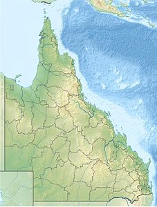
Turtle Island is a small Australian island in the extreme south of the Torres Strait Islands archipelago . It is 9 km off the east coast of the Cape York Peninsula in Newcastle Bay , about 3.5 km north of Turtle Head Island .
The densely forested island is through a short and only a few meters wide water passage from its northwestern neighboring island Brewis Island ( 10 ° 53 ′ S , 142 ° 42 ′ E ), with a length of approx. 260 meters and a maximum width of 50 meters (1.3 ha ), separated; both islands lie in a common coral reef ( Turtle Island Reef ).
The narrow strip of water between the islets is barely visible on satellite or aerial photographs, which is why both islands are often referred to under the common name Turtle Island , with the alternative names Brewis Island or Brewers Island .
Administratively, Turtle Island (along with Brewis Island) is one of the Inner Islands , an island region in the Torres Shire administrative district of Queensland .
See also
Individual evidence
- ↑ http://www.geonames.org/2145778/turtle-island.html Entry at www.Geonames.org


