Pack Iceland
| Pack Iceland | ||
|---|---|---|
| Pack Iceland, center below | ||
| Waters | Pacific Ocean | |
| Archipelago | Thursday Islands | |
| Geographical location | 10 ° 44 '35 " S , 142 ° 13' 24" E | |
|
|
||
| length | 1.15 km | |
| width | 580 m | |
| surface | 70 ha | |
| Highest elevation | 81 m | |
| Residents | 10 14 inhabitants / km² |
|
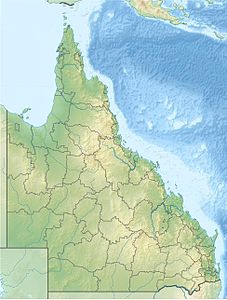
| Location of the Torres Strait Islands | ||
Packe Island is an island in the Torres Strait Islands archipelago . It is located in the southeast of the Thursday Islands , just under a kilometer southeast of Prince of Wales Island , 20 kilometers west of mainland Australia. Port Lihou Island is 400 meters off the northeast coast .
The island is one kilometer long and 600 meters wide. It reaches a height of 81 meters. It is surrounded by a coral reef , except to the east where there is a sandy beach. Administratively it belongs to the Inner Islands , the southernmost island region in the Torres Shire administrative district of the Australian state of Queensland .
There is a small settlement on the north coast of the island.


