Booby Island (Queensland)
| Booby Island (Queensland) | ||
|---|---|---|
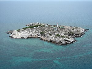
| Oblique aerial view | ||
| Waters | Torres Street | |
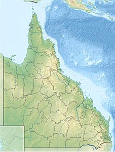
| Geographical location | 10 ° 36 '14 " S , 141 ° 54' 40" E | |
|
|
||
| length | 360 m | |
| width | 340 m | |
| surface | 6 ha | |
| Highest elevation | 37 m | |
| Residents | uninhabited | |
| Landsat image of Booby Island | ||
Booby Island is a small island in the Torres Strait and administratively belongs to Queensland , Australia . The island is located 23 kilometers west of Prince of Wales Island and 45 kilometers northwest of the Cape York Peninsula at the western entrance of the Torres Strait. Since the passage of this water is extremely difficult, numerous ships sank here in the 19th century. In 1896 an 18 meter high lighthouse was finally built.
Booby Island got its name from the gannet birds ( English Booby ).
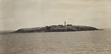
Historical view
Web links
- Russ Rowlett: Lighthouses of Australia: Queensland's East Coast ( English ) In: The Lighthouse Directory . University of North Carolina at Chapel Hill . Retrieved September 17, 2011.
Commons : Booby Island - collection of pictures, videos and audio files


