Bourke Islands
| Bourke Islands | ||
|---|---|---|
| Landsat image of the archipelago | ||
| Waters | Pacific Ocean | |
| archipelago | Torres Strait Islands | |
| Geographical location | 9 ° 54 ′ S , 143 ° 24 ′ E | |
|
|
||
| Number of islands | 7th | |
| Main island | Bourke Island | |
| Total land area | 1.60 km² | |
| Residents | uninhabited | |
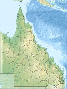
| Location of the Torres Strait Islands | ||
The Bourke Islands are an uninhabited Australian archipelago in the Torres Strait Islands archipelago . They are about 95 km southeast of the south coast of Papua New Guinea and 130 km northeast of the northern tip of Australia. They are all coral islands .
The archipelago extends over 44 km from west ( Roberts Island ) to the main island to the east ( Bourke Island ). The north-south extension is less with 17 km from Kabikane Island to Mimi Island .
history
The island group was named in 1836 by Charles Lewis , commander of the ship Isabella , after Sir Richard Bourke (governor of the Australian colony of New South Wales between 1831 and 1837).
Islands
The group includes the following uninhabited islands:
![]() Map with all coordinates: OSM | WikiMap
Map with all coordinates: OSM | WikiMap
Administratively, the archipelago is one of the Central Islands , an island region in the Torres Shire administrative district of Queensland .


