Zagai
| Zagai Island (Dungeness) |
||
|---|---|---|
| Landsat image by Zagai | ||
| Waters | Pacific Ocean | |
| Archipelago | Torres Strait Islands | |
| Geographical location | 9 ° 51 '18 " S , 142 ° 55' 12" O | |
|
|
||
| length | 6.3 km | |
| width | 2.7 km | |
| surface | 9.28 km² | |
| Highest elevation | 21 m | |
| Residents | uninhabited | |
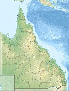
| Location of the Torres Strait Islands | ||
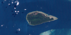
Zagai , also known as Dungeness , is an uninhabited island in the central northeast of Torres Strait , a waterway between Australia and Papua New Guinea . The 9.28 km² island is separated from the large coral reef Warroir Reef by a narrow passage in the east ( Basilisk Passage ) .
The lushly forested island of Zagai is the second largest island in the Central Islands group after Sassie Island .


