Kulbi Islands
| Kulbi Islands | ||
|---|---|---|
| Landsat image of the group | ||
| Waters | Pacific Ocean | |
| archipelago | Torres Strait Islands | |
| Geographical location | 10 ° 7 ′ S , 142 ° 21 ′ E | |
|
|
||
| Number of islands | 3 | |
| Main island | Portlock Island | |
| Total land area | 0.26 km² | |
| Residents | uninhabited | |
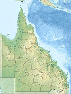
The Kulbi Islands (also called Kulbi Islets ) are located on the Torres Strait between Australia and Papua New Guinea , just a few kilometers northeast of Moa Island .
Table of the islands
The uninhabited archipelago includes:
| Island name | Alternatively | location | Area km² |
Geographic coordinates |
|---|---|---|---|---|
| North Possession Island | Iem | north | 0.13 | 10 ° 05 ′ S , 142 ° 20 ′ E |
| Tobin Island | Zagarsum | center | 0.03 | 10 ° 06 ′ S , 142 ° 21 ′ E |
| Portlock Island | Kulbi | south | 0.10 | 10 ° 07 ′ S , 142 ° 21 ′ E |
Administratively, the Kulbi Islands belong to the Western Islands , an island region in the Torres Shire administrative district of Queensland .

