Gabba Island
| Gabba Island (Gerbar Island) |
||
|---|---|---|
| Landsat image from Gabba Island (top, left) | ||
| Waters | Pacific Ocean ( Torres Strait ) | |
| Geographical location | 9 ° 46 '0 " S , 142 ° 38' 9" E | |
|
|
||
| length | 2.9 km | |
| width | 1.4 km | |
| surface | 4.16 km² | |
| Highest elevation | 110 m | |
| Residents | uninhabited | |
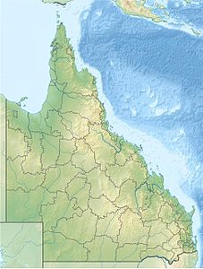
| Map of the Torres Strait Islands | ||
Gabba Island , also called Gerbar Island , Gebara Island or Two Brothers Island , is an uninhabited Australian island in the center of the Torres Strait Archipelago . The closest inhabited island, Yam, is 19 km to the southeast.
The sparsely overgrown, rocky island protrudes in places over 100 meters from the surrounding fringing reef . Gabba Island is almost three kilometers long (west to east) and up to 1,500 meters wide.
Two kilometers to the south are the Mourilyan Reef and, in the narrow fairway between the reef and Gabba Island, some rocks that are dangerous for shipping.
Administratively, the island is one of the Central Islands , an island region in the Torres Shire administrative district of Queensland .


