Manar Islands
| Manar Islands | ||
|---|---|---|
| Landsat image of the group | ||
| Waters | Pacific Ocean | |
| archipelago | Torres Strait Islands | |
| Geographical location | 10 ° 43 ′ S , 142 ° 37 ′ E | |
|
|
||
| Number of islands | 6th | |
| Main island | Albany Island | |
| Total land area | 6.35 km² | |
| Residents | uninhabited | |
| Location of the Torres Strait Islands | ||
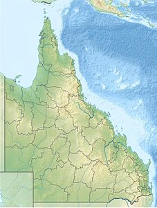
The Manar Islands (English Manar Group ) are a small island group belonging to Australia (state of Queensland ) in the east of the archipelago of the Torres Strait Islands . The group that lies directly in front of the northeast tip of the Cape York Peninsula includes the following islands :
| Surname | Alternatively | Coordinates | Area km² |
|---|---|---|---|
| Albany Island | Pabaju | 10 ° 44 ′ S , 142 ° 36 ′ E | 5.91 |
| Albany Rock | Gulupsum rock | 10 ° 43 ' S , 142 ° 38' E | 0.03 |
| Bush Islet | 10 ° 43 ' S , 142 ° 36' E | 0.10 | |
| May Iceland | 10 ° 43 ' S , 142 ° 37' E | 0.25 | |
| Pitt Rock | 10 ° 44 ′ S , 142 ° 37 ′ E | 0.04 | |
| Tree Island | Jul | 10 ° 42 ' S , 142 ° 36' E | 0.02 |
Administratively, the archipelago is one of the Inner Islands , the southernmost island region in the Torres Shire administrative district of Queensland .


