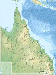
Prince of Wales Island (Queensland)
| Prince of Wales Island | ||
|---|---|---|
| Landsat image of the Prince of Wales Island | ||
| Waters | Torres Strait | |
| Archipelago | Thursday Islands | |
| Geographical location | 10 ° 41 ′ S , 142 ° 11 ′ E | |
|
|
||
| length | 19.5 km | |
| width | 18.6 km | |
| surface | 204.6 km² | |
| Residents | 20th (2001) <1 inh / km² |
|
| On this map the island is entered under the name Muralug | ||
The Prince of Wales Island ( English Prince of Wales Island ; Muralug in Kaurareg , the language of the locals) is part of the Torres Strait Islands in the strait between Australia and Papua New Guinea . The island, measuring 19.5 kilometers by 18.6 kilometers, has an area of 204.6 square kilometers. It is the largest of the Torres Strait Islands. The island is inhabited by several families, but has none of the usual civilizing facilities such as electricity, water supply, waste disposal, sewerage and the like. The population in 2001 was only 20 people.
Administratively, the island belongs to the Inner Islands , an island region in the Torres Shire administrative district of Queensland . Most of the island's land is unused state property , although as a result of the Mabo judgment, a good part of the land was returned to the original owners, the tribesmen of the Kaurareg, for self-administration.
The neighboring island of Thursday Island , just 830 meters away, is the administrative and commercial center of the Torres Strait Islands. From there, those looking for relaxation and tourists visit the Prince of Wales Island. For example, there are campsites on the west coast .


