Durmitor
| Durmitor | ||
|---|---|---|
|
Durmitor; Bobotov Kuk in the center of the picture |
||
| Highest peak | Bobotov Kuk ( 2522 m. I. J. ) | |
| location | Montenegro | |
| part of | Dinarides | |
|
|
||
| Coordinates | 43 ° 9 ′ N , 19 ° 2 ′ E | |
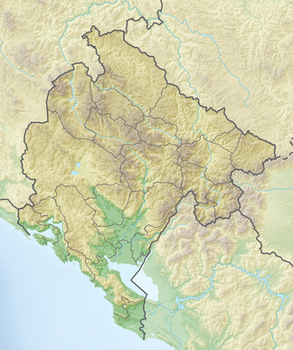
The Durmitor is a mountain massif in northern Montenegro that belongs to the Dinarides mountain range . The surrounding the massif of Durmitor National Park, the 1952 National Park was declared, belongs since 1980 to UNESCO - World Heritage . The highest peak of the Durmitor massif at 2,522 meters is the Bobotov Kuk . 48 peaks of the Durmitor massif are higher than 2000 m.
In the Durmitor massif and its foreland there are numerous lakes, including the Jablan jezero (at 1918 m), the Srablje jezero (1667 m), the Škrčko jezero (1717 m), the Vražije jezero (1437 m), the Crno jezero (1416 m) and the Zmijinje jezero (1344 m).
tourism
The mountains are a popular tourist destination. The main season is traditionally winter when the lower regions of the Durmitor are used for winter sports. Foreign travelers, the number of which has increased again in recent years, visit the Durmitor mainly in summer for hiking and mountaineering. The Tara Gorge is also a popular tourist destination.
climate
Despite its proximity to the Mediterranean Sea, the Durmitor massif is located in a climatic zone that is increasingly characterized by the mainland, the moderate continental climate. Thus, the temperature conditions are not unlike those in Central Europe, but are due to the height of the massif up to over 2500 meters z. T. clearly pressed down. The meeting of humid and warm air from the Adriatic Sea and cold mainland air leads to considerable amounts of snow in the winter months. 3 meters of snow and more are not uncommon in the higher mountain regions in north-eastern Montenegro. Within the Durmitor, the average temperatures range between −3 and −8 ° C in January, between +15 and +7 ° C in July and between +7 and −1 ° C in the year, depending on the altitude. The annual amounts of precipitation are high and reach well over 2000 mm in the high areas. Snow can fall even in midsummer and on exposed northern slopes it lasts through the summer until the next snowfall in September. The Zabljak weather station at 1450 meters gives the following average data: January: −4.8 ° C, July: +13.8 ° C, annual mean: +4.8 ° C.
literature
- Kurt Hassert : The Durmitor. Hikes in the Montenegrin high mountains . Gustav Schenck, Berlin 1892 (reprint of an article in the magazine of the German-Austrian Alpine Club, born in 1892).
- Kurt Hassert: Montenegro. Trip through Montenegro with remarks about the country and its people . A. Hartleben's Verlag, Vienna and Pest, 1893, therein the chapter Im Durmitor .
- Branislav Cerović: Durmitor and the Cañon Tara. Mountain guide . Durmitor National Park. Belgrade 1986.
Web links
- Tourist Association of Montenegro: Durmitor National Park (English)
- UNESCO - Durmitor National Park (English)
- Dumitor National Park (montenegr.)
- Summitpost.org: Extensive article on the Durmitor with many photos (English)
Footnotes
- ^ Kurt Hassert: Contributions to the physical geography of Montenegro with special consideration of the Karst . Perthes, Gotha 1895, p. 123.


