Elephant Island (Gambia)
| Elephant Island | ||
|---|---|---|
|
NASA World Wind satellite image. The Gambia flows here in the image section first in a southern, then in a western direction. |
||
| Waters | Gambia (river) | |
| Geographical location | 13 ° 27 '26 " N , 15 ° 19' 49" W | |
|
|
||
| length | 6.7 km | |
| width | 2.3 km | |
| Residents | uninhabited | |
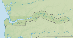
Along with Janjanbureh Island, Elephant Island is one of the two largest inland islands on the Gambia River in the West African state of Gambia .
geography
The island, about 6.7 kilometers long and 2.3 kilometers wide, is located around 155 river kilometers upstream from Banjul . The Gambia narrows here to a width of about 500 meters and is about 18 meters deep. The island lies in the transition zone between brackish and fresh water ; here the mangrove forest turns into bamboo and rice fields .
A larger population of around 100 hippos, which are rather rare in Gambia today, lives above the island.
Bambali is located on the north bank of the Gambia .
See also
literature
Ilona Horn: Gambia. Small vacation paradise in West Africa. With trips to Senegal. The sophisticated companion for your trip to Gambia. Travel guide with current tips and information . Horn Ilona Verlag, 2nd updated edition. Munich 1999, ISBN 3-932084-19-5 .

