Farquhar Atoll
| Farquhar Atoll | ||
|---|---|---|
| NASA image of Farquhar Atoll | ||
| Waters | Indian Ocean | |
| archipelago | Farquhar group | |
| Geographical location | 10 ° 10 ′ S , 51 ° 8 ′ E | |
|
|
||
| Number of islands | 9 | |
| Main island | Île du Nord | |
| Land area | 7.5 km² | |
| Lagoon area | approx. 150 km² | |
| Residents | 15th | |
| Map of the Farquhar Atoll | ||
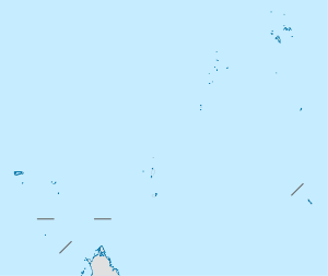
The Farquhar Atoll is an atoll in the Indian Ocean , which belongs to the so-called Outer Islands of the Republic of the Seychelles . It is the smaller of the two atolls belonging to the Farquhar group and is located about 770 km southwest of Mahé , the main island of the Seychelles.
The atoll was discovered in 1501 by the Portuguese navigator João da Nova . From 1965 until the Seychelles gained independence in 1976, it was part of British Indian Ocean Territory .
geography
The atoll consists of two islands, the Île du Nord and the Île du Sud , as well as numerous islets ( motus ), which are mainly located in the east of the atoll. The total land area of all islands is 7.5 km², while the area including the lagoon is around 170.5 km². The coral reef has two openings (one in the north, one in the west) and thus allows boats to enter the lagoon. On the Île du Nord there is a small settlement and an airport ( ICAO airport code FSFA).


