Puebla Airport
| Aeropuerto Internacional de Puebla "Hermanos Serdán" | ||
|---|---|---|
|
|
||
| Characteristics | ||
| ICAO code | MMPB | |
| IATA code | PBC | |
| Coordinates | ||
| Height above MSL | 2241 m (7352 ft ) | |
| Transport links | ||
| Distance from the city center | 23 km northwest of Puebla , 123 km southeast of Mexico City |
|
| Street | Mexico City - Puebla Highway | |
| Basic data | ||
| opening | November 18, 1985 | |
| operator | Operadora Estatal de Aeropuertos and Aeropuertos y Servicios Auxiliares | |
| Terminals | 1 | |
| Passengers | 551,000 (2008) | |
| Start-and runway | ||
| 17/35 | 3600 m × 45 m asphalt | |
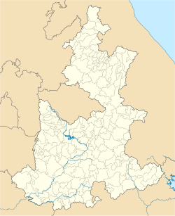
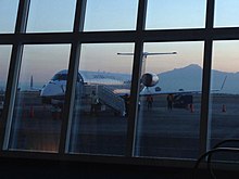
The International Airport of Puebla is an international commercial airport in Puebla , capital of the Mexican state of the same name . It is located 23 km northwest of the city near Huejotzingo .
Puebla Airport was planned as an alternate airport for Mexico City in 1984 and named after Hermanos Serdán . Since 2005 it has been part of the metropolitan airport system, which also includes the airports of Toluca , Cuernavaca and Querétaro .
There is a project with the Braunschweig software house Airpas Aviation to enable the airport to set up flights between the German city of Hanover and Puebla and to make Puebla airport the first Mexican airport to carry out a fully automated exchange of invoices with airlines. With the help of the new system, Puebla is to position itself as an alternative airport hub for intercontinental and domestic flights.


