Ottenschlag airfield
| Ottenschlag airfield | ||
|---|---|---|
|
|
||
| Characteristics | ||
| ICAO code | LOAA | |
| Coordinates | ||
| Height above MSL | 874 m (2867 ft ) | |
| Transport links | ||
| Distance from the city center | 0.5 km south of Ottenschlag | |
| Basic data | ||
| operator | Union glider pilot group Ottenschlag | |
| surface | 0.7 ha | |
| Start-and runway | ||
| 03/21 | 516 m × 25 m grass | |
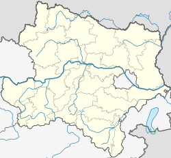
The airfield Ottenschlag ( ICAO code : LOAA ) is an airfield in the town of Ottenschlag in Lower Austria .
The airfield is approved according to visual flight rules for powered aircraft up to 2000 kg total weight and gliders . Take-offs and landings must be announced in advance by telephone ( PPR , prior permission required ). A customs clearance is possible if necessary. Sightseeing flights are offered for those interested.
See also
Web links
Individual evidence
- ^ Ottenschlag airfield in the media. RC-Wasserflieger.at, October 3, 2000, accessed October 9, 2014 .
- ↑ Sightseeing flights. (No longer available online.) Market town of Ottenschlag, archived from the original on October 26, 2014 ; Retrieved October 9, 2014 . Info: The archive link was inserted automatically and has not yet been checked. Please check the original and archive link according to the instructions and then remove this notice.
