Fort Frances-International Falls International Bridge
Coordinates: 48 ° 36 ′ 26 " N , 93 ° 24 ′ 6" W.
| Fort Frances-International Falls International Bridge | ||
|---|---|---|
| Satellite view of the Fort Frances - International Falls International Bridge. The bridge can be seen in the middle of the picture on the right and the dam on the left. | ||
| Crossing of | Rainy River | |
| place | Fort Frances, Ontario | |
| overall length | 287 m | |
| width | 3.8 m | |
| opening | 1912 | |
| toll | $ 7 for cars and pickups, $ 2 for motorcycles, $ 8 for trailers and RVs, $ 16 for trucks and buses, $ 350 for oversized trucks, and $ 4 for trailers | |
| location | ||
|
|
||
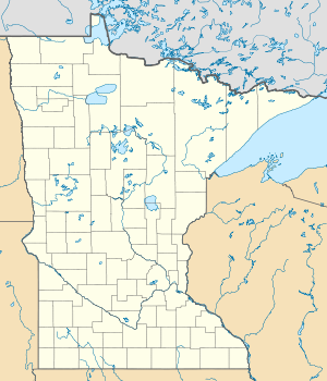
The Fort Frances – International Falls International Bridge is a privately owned bridge that is used as a toll bridge . It connects the cities of Fort Frances , Ontario and International Falls , Minnesota via the Rainy River .
The bridge road and tracks are owned by Boise Inc. and Resolute Forest Products , formerly Abitibi-Consolidated, which operate paper mills along the Rainy River in both Canada and the United States.
Northbound traffic pays a toll in US dollars and only accepts cash. The prices are: $ 7 for cars and pickups, $ 2 for motorcycles, $ 8 for trailers and RVs, $ 16 for trucks and buses, $ 350 for oversized trucks, and $ 4 for trailers. Tickets for volume discounts for frequent crossings can be purchased from the supermarkets in the cities. No tolls are charged for traffic going south or for pedestrian traffic.
The roadway and the railroad tracks run at the same level with a pipeline that runs centrally over the bridge and supplies the paper mills. The roadway on the bridge has two lanes. Buses and trucks are routed over the track axis as this part of the bridge can carry heavier loads than the rest of the bridge.
West of the bridge is a dam built in 1905 . The dam covers the rapids after which the International Falls bridge is named.
The bridge is the northern end of US Route 71 and US Route 53. It merges into Ontario Highway 11 and Ontario Highway 71 , which are part of the Trans-Canada Highway on the Ontario side of the river .

