Gangchenta
| Gangchenta | ||
|---|---|---|
| height | 6620 m | |
| location | Gasa ( Bhutan ), Tibet (PR China) | |
| Mountains | Himalayas | |
| Dominance | 35.37 km → Jichu Drake | |
| Notch height | 1620 m ↓ (5000 m) | |
| Coordinates | 28 ° 6 '14 " N , 89 ° 32' 58" E | |
|
|
||
| First ascent | unclimbed | |
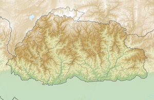
The Gangchenta (alternative spelling: Kangcheta or Gangchen Tag ) is a mountain in the eastern main ridge of the Himalayas on the border between Bhutan and the autonomous region of Tibet .
The 6620 m high glaciated mountain lies on the edge of the Jigme-Dorji National Park , 14 km west of the mountain village of Laya . The Chomolhari is about 40 km southwest, the Tongshanjiabu 40 km east. The southeast flank of the Gangchenta is drained via the Mo Chhu , the right source river of the Puna Tsang Chhu . The northern slope of Gangchenta is in the catchment area of the Tibetan lake Duoqing Co .
According to the Himalayan Index , the Gangchenta is still unclimbed.
